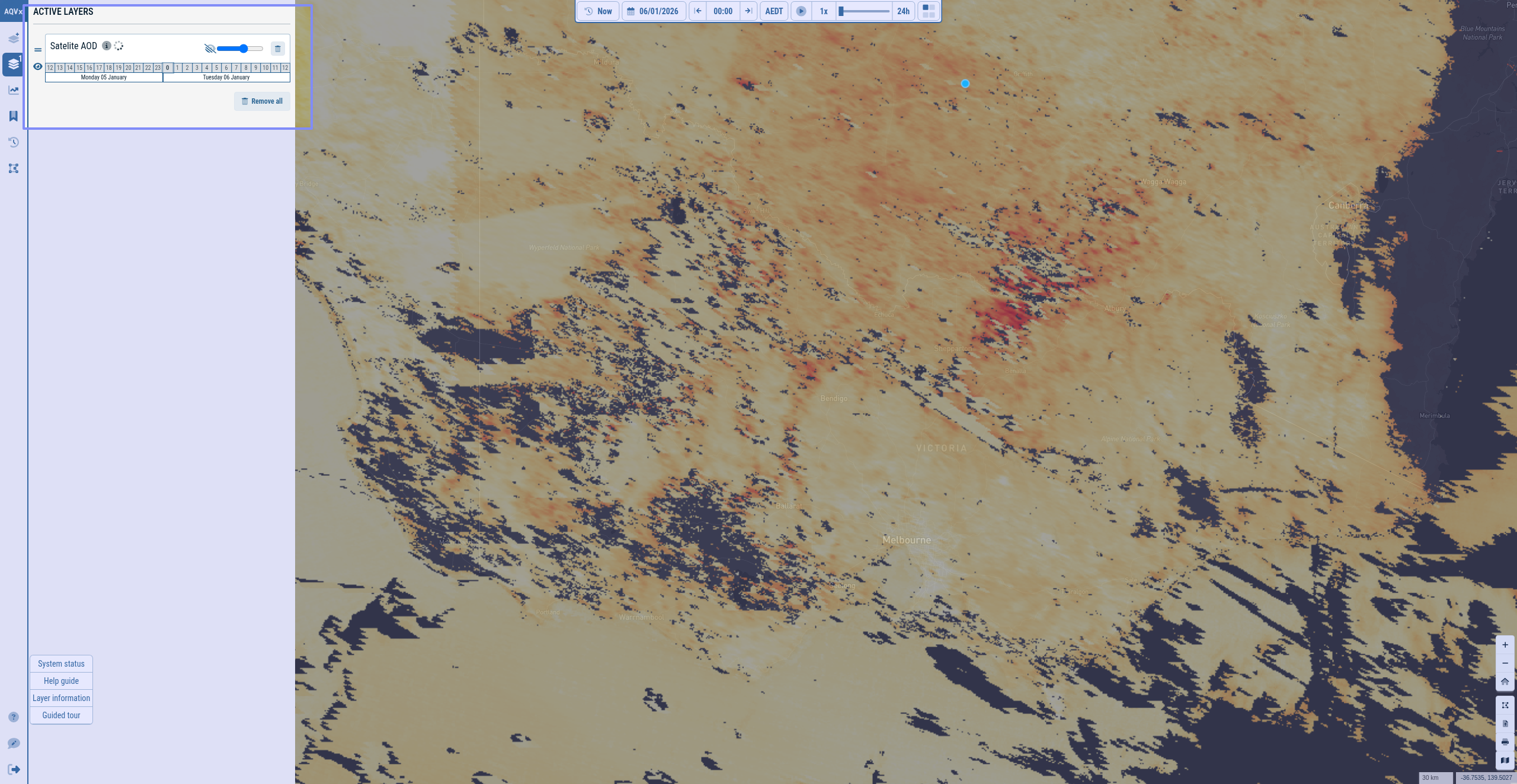
I can’t work out from the Satellite AOD layer when it was last updated, how regulariliy it is updated and the duration of time the image covers. The tool tip does say 24rs, so we need to know when the images chanes. It is missing the update date. The layer also is grey in the acttve layers, and contantly shows the spinning loading symbol even though an image can be seen. Also Satellite has 2 ‘l’s.